Cogdill Fire
Reported: 12:34 10/07/2021
Location: 5 miles southeast of Chadron, NE
Size: 1.4 acres
Resources: Federal resources have responded
Cause: Under investigation
Cogdill Fire
Reported: 12:34 10/07/2021
Location: 5 miles southeast of Chadron, NE
Size: 1.4 acres
Resources: Federal resources have responded
Cause: Under investigation
Update 9:50 AM 10/11/21
Update 1:40 PM 10/8/21
Update 1:00 PM 10/7/21
Update 8:15 AM 10/7/21
Update 7:00 PM 10/6/21
Update 4:15 PM 10/6/21
State
Wildland Fire, the Rapid City Fire Department and Rapid City Police Department
have determined the cause of the Auburn Fire as accidental, due to mechanical
failure of earth moving equipment. This was not a human caused fire. The earth
moving equipment had been sitting in a field and had not been operated for a
long period of time. There is evidence to confirm these findings. The fire
started on private property within city limits and quickly spread outside of
the city. No additional information will be available.
Update 12:45 PM 10/6/21
Update 8:00 AM 10/6/21
Update 6:00 PM 10/5/21
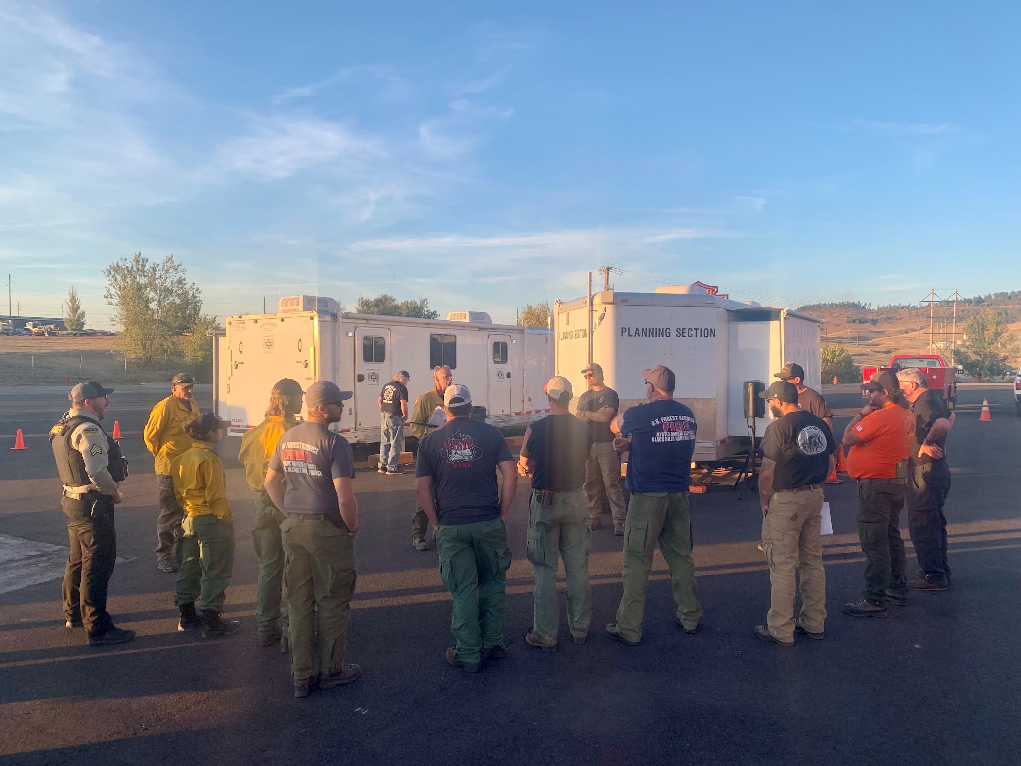 |
| Night Operational Briefing for the Auburn Fire. |
Update from the Pennington County Sheriff's Office
All fire evacuations, pre-evacuations, and road closures will be lifted at 6:00 PM. Only local residents will be allowed in the area so as not to hamper firefighters.
Update 2:00 PM 10/5/21
 |
| Map of the Auburn Fire with the updated perimeter from the Multi-Mission Aircraft flight. |
Update 1:30 PM 10/5/21

Update 12:40 PM 10/5/21
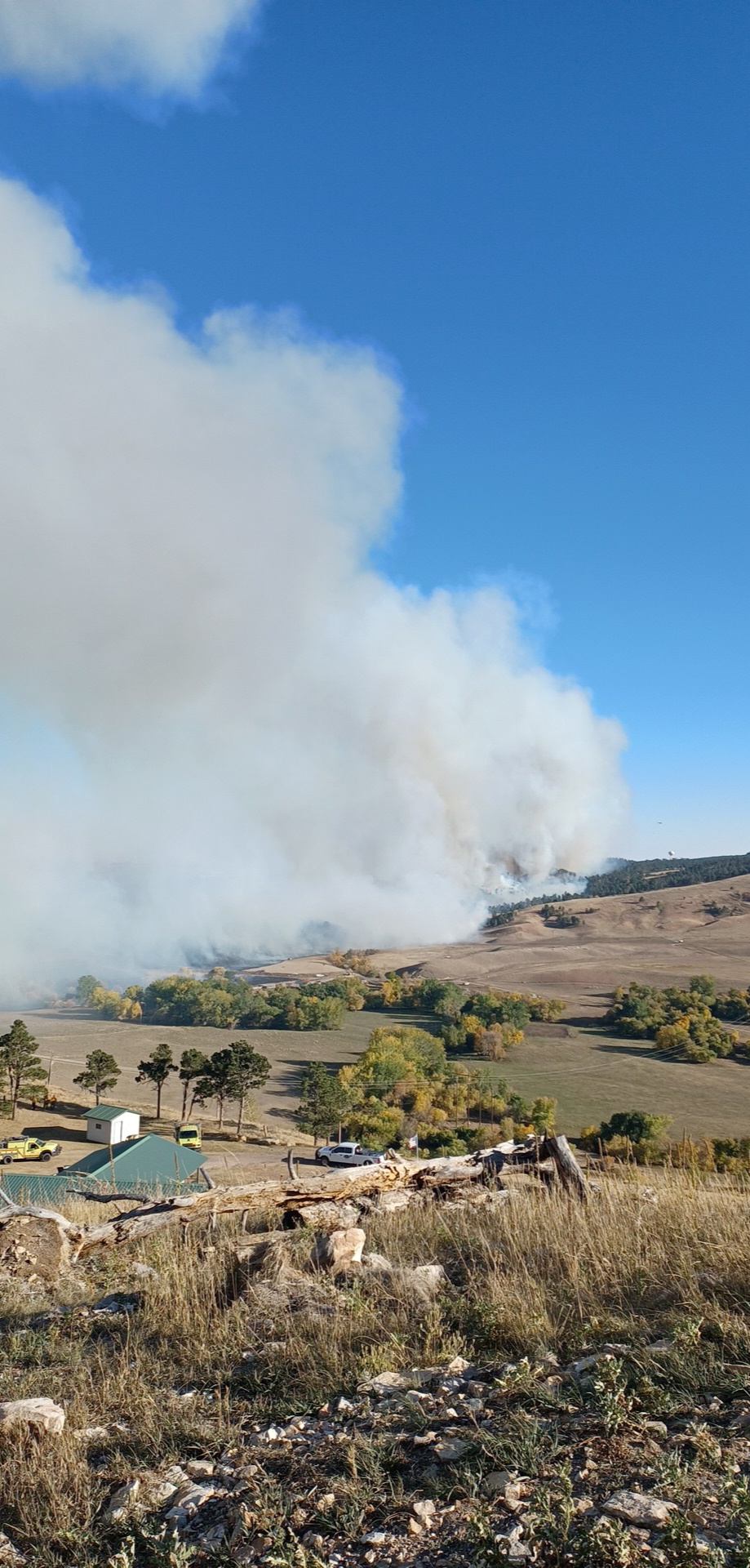
Photo Upload from Previous Operational Periods
 |
| Engines at the Incident Command Post. |
 |
| Photo credit: Riley Stevens, SD Wildland Fire |
 |
| Photo credit: Riley Stevens, SD Wildland Fire |
 |
| Photo credit: Silver City VFD |
Update 9:50 AM 10/5/21
Update 8:00 AM 10/5/21
Update 7:45 AM 10/5/21
Update 10:50 PM 10/04/21
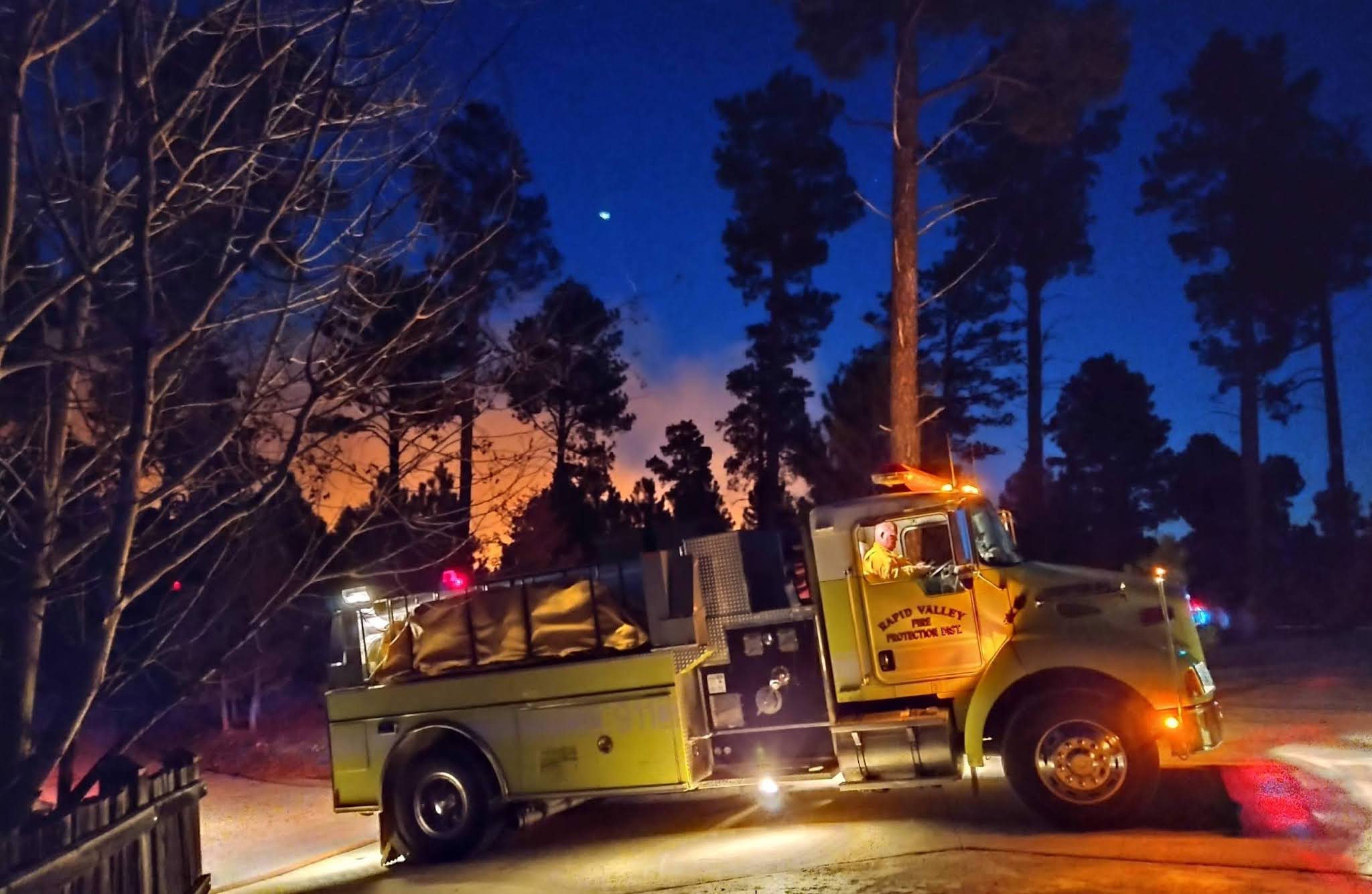 |
| Photo credit: Dawson Hoffman, Rapid Valley Fire Department |
Update 8:45 PM 10/4/21
Update 6:15 PM 10/4/21
WILDFIRE UPDATE - new information @ 4:45 p.m. 10/4/2021
Auburn Fire


Red Shirt Fire
If you are facing agricultural losses due to recent wildfire, here are a few resources which may help you:
Blended Fire - Updated at 6:20 p.m. on 10/4/2021
Hawk
Draw II
Reported:
1:39PM 10/02/2021
Location: I90
MM 96 near Wasta, SD
Size: 6
acres
Resources:
Federal and Local
Cause:
Human
Contained at 7:50 p.m. on 10/02/2021, and controlled at 8:00 p.m. on 10/02/2021
Hat
Mountain
Reported:
2:42PM 09/28/2021
Location: Pennington
Co, N of Johnson Siding, 8 mi W of Rapid City
Size: 36
acres
Resources:
Federal, State, and Local
Cause: Under
investigation
Contain:
9/29/21 5:00PM
Longview
Rd CA
Reported:
3:52PM 09/24/2021
Location: 2-3
mi from Rapid City airport off Longview Rd
Size: 182
acres
Resources:
State and Local
Contain:
9/24/21 5:38PM
Longview
CA
Reported:
11:37AM 09/23/2021
Location: Pennington
Co near Caputa
Size: 110
acres
Resources:
State and Local
Contain:
9/23/21 3:30PM