Griffis Wildfire
Reported: 2:54 pm, July 18
Location: 6 miles west of Custer and 3 miles south. West of Pleasant Valley Road
Size: .25-.50 acres
Resources: Federal
Cause: Unknown
Lyman Wildfire
Reported: 1:17 pm, July 18
Location: On Forest Service land, approximately 6 miles south of Jewel Cave
Size: 3 acres
Resources: Federal and State
Cause: Unknown
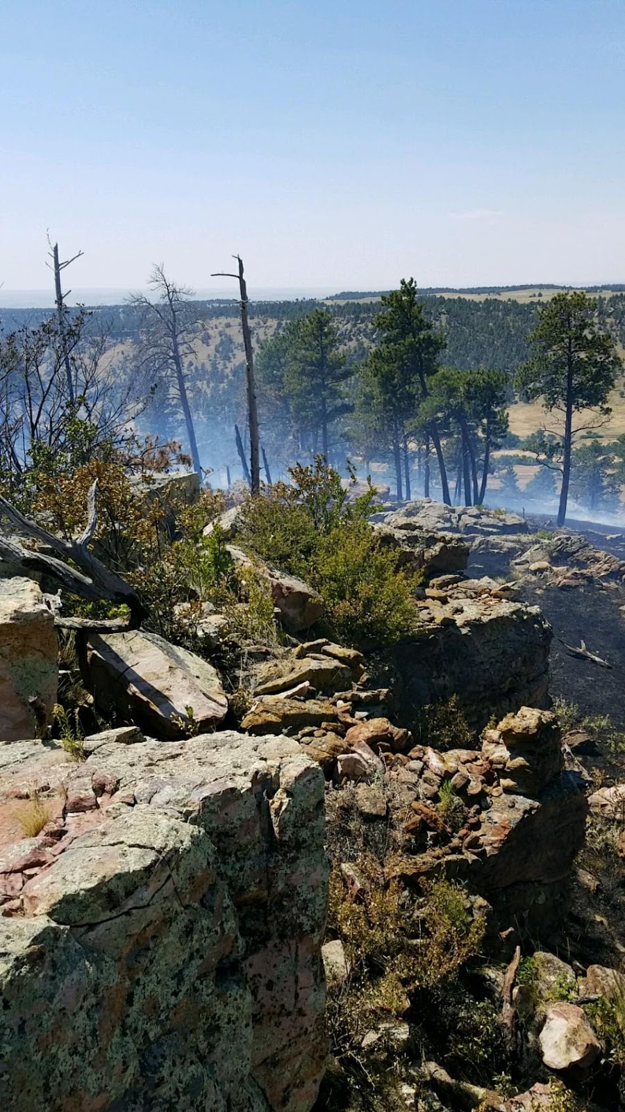
Needles Wildfire
Reported: 7:21 pm, July 17
Location: Cathedral Spires - Custer State Park
Size: .1 acre
Cause: Unknown
Wanblee Timber Wildfire - UPDATE
Reported: 5:37 pm, July 16
Location: 10 miles south of Wanblee, SD
Size:
3500 4000 acres
Resources: Federal / State / Local / Tribal
Currently managed by Rocky Mountain Type 2 Incident Management Team
For fire information, call (303) 589-2179.